Best GPS Lake Maps for Minnesota (Navionics, LakeMaster)
It can be incredibly frustrating to be out on a vast Minnesota lake, looking for that perfect weed line, rock pile, or subtle depth change where the fish are hiding, only to feel lost and uncertain about what's truly beneath your boat. Navigating our incredible waters, from the sprawling depths of Lake Superior to the intricate structure of Mille Lacs, requires more than just guesswork. This guide will dive deep into the world of GPS lake maps, specifically focusing on the popular choices like Navionics and LakeMaster, to help you understand their features, how to choose the right one, and ultimately, how to put more fish in your boat.
The Indispensable Role of GPS Lake Maps for Minnesota Anglers
Gone are the days of relying solely on paper maps and triangulation, squinting at buoys, and hoping you're in the right spot. Modern GPS lake maps have revolutionized how we approach fishing, turning guesswork into informed strategy. For anglers chasing everything from elusive muskies to schools of walleye, these digital charts are nothing short of essential.
Why Your Old Paper Map Isn't Cutting It Anymore
While there's a certain nostalgia for unfolding a well-worn paper map, let's be real: they have limitations. They can get wet, tear, and most importantly, they don't show you exactly where you are in real-time. Imagine you're fishing a massive body of water like Leech Lake, trying to find a specific breakline where the walleye are known to hold. With a paper map, you might get close, but without a precise GPS overlay, you're still relying on visual cues and estimates. A digital lake map, integrated with a GPS unit, pinpoints your boat's exact location, allowing you to follow contours, mark waypoints, and return to productive spots with incredible accuracy. This precision is a game-changer for repeatable success, especially when targeting specific structures.
Understanding the Core Features of Digital Lake Maps
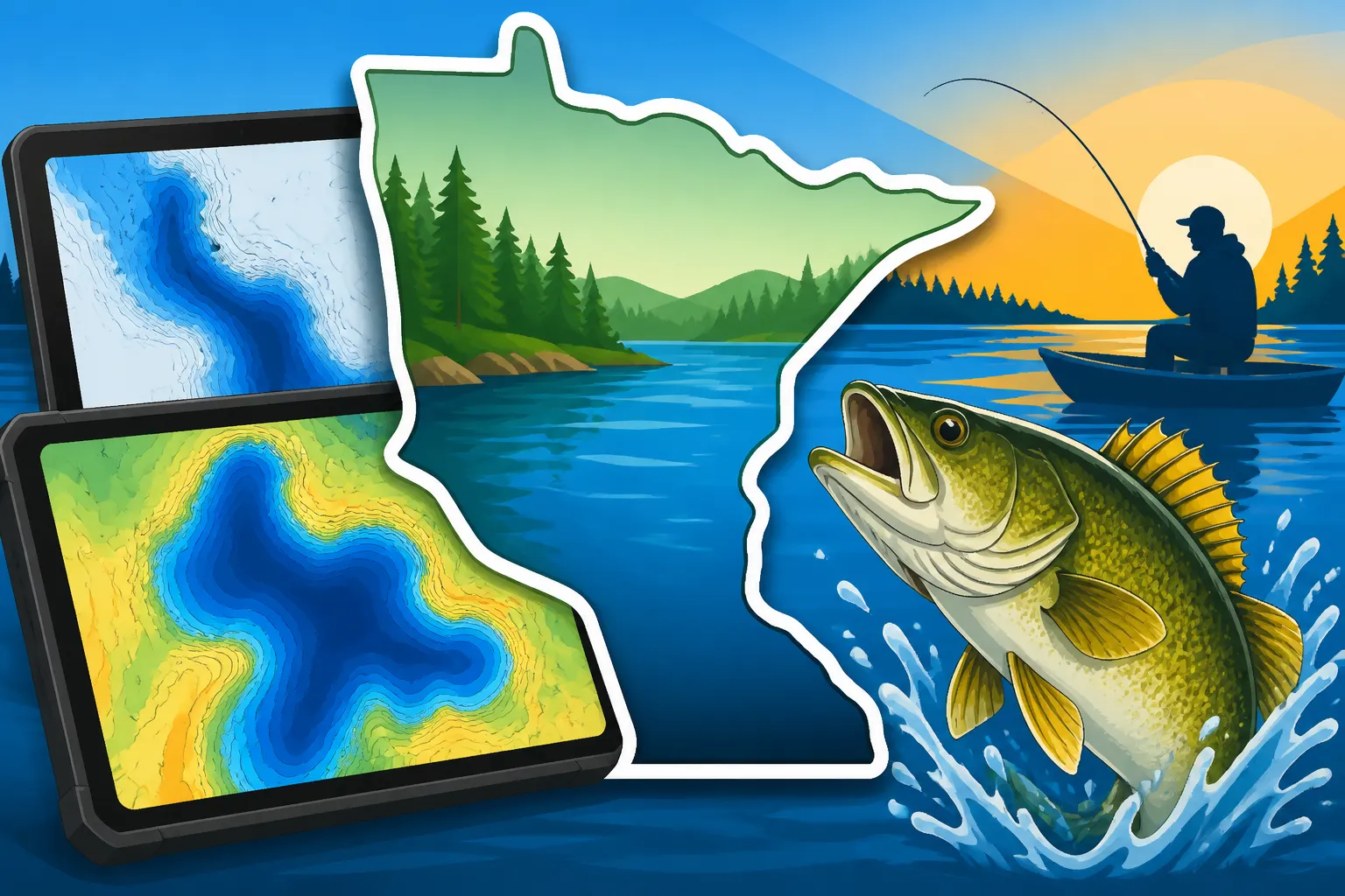
These aren't just pretty pictures of water; they're packed with data. At their heart, GPS lake maps display detailed bathymetry – the underwater topography. This includes depth contours, often in one-foot increments, revealing humps, holes, saddles, and ledges. Beyond just lines on a screen, they also typically show navigation aids like buoys, channels, and sometimes even marina information.
What really sets them apart for anglers, however, are features like:
- High-definition contours: Essential for identifying subtle structural changes where fish ambush prey.
- Shallow water highlight: Visually marks areas too shallow for your boat, helping you avoid prop-damaging rocks.
- Custom depth shading: Allows you to highlight specific depth ranges, making it easier to focus on a target zone.
- Vegetation and bottom composition: Some maps indicate areas of weeds, rock, sand, or mud, which are critical for understanding fish habitat.
- Waypoints and trails: The ability to mark your favorite fishing spots, follow a trolling pass, or track your route is fundamental.
These features transform your fish finder display from a simple depth gauge into a powerful navigational and fish-finding tool, making it easier to interpret structures and predict where fish might be holding based on factors like seasonal fishing patterns.
Navionics vs. LakeMaster: A Deep Dive into the Top Choices
When it comes to dedicated GPS lake maps for Minnesota, two names consistently rise to the top: Navionics and LakeMaster. Both offer incredible detail and functionality, but they approach things a little differently, and what works best for one angler might not be ideal for another. Let's break them down.
Navionics: Global Reach with Powerful Community Mapping
Navionics, now part of Garmin, has built its reputation on a vast, global database of marine and lake charts. Their maps are known for their clean interface and widespread compatibility across many brands of fish finders, including Simrad, Lowrance, Raymarine, and, of course, Garmin units.
Key Features and Benefits of Navionics
- Breadth of Coverage: Navionics offers extensive coverage, often including small, obscure lakes that other map cards might miss. Their "Regions" model allows you to buy a card for a large geographical area, covering thousands of lakes and coastal waters.
- SonarChart™: This is a fantastic feature for anglers. SonarChart is a bathymetric map that continually improves with sonar logs contributed by the Navionics community. This means if you and other anglers record your sonar data while on the water, you can upload it to Navionics, and they'll process it to create even more detailed, one-foot contour maps of your favorite spots. This is especially valuable for smaller lakes or less-charted areas.
- Dock-to-dock Route Guidance: While more for navigation than pure fishing, this feature can be handy for safely plotting courses through tricky waterways.
- Deepwater Shading and Shallow Area Highlights: Their customizable settings allow you to quickly identify key depth ranges and danger zones.
- Subscription Model: Navionics typically operates on an annual subscription for updates and advanced features like SonarChart Live (which draws contours in real-time on your screen as you drive). This means you get continuous improvements and fresh data, but it's an ongoing cost. You can often purchase new Navionics cards from retailers like Bass Pro Shops or through online platforms like Amazon.
Potential Drawbacks of Navionics
Some anglers find that while Navionics offers broad coverage, the level of detail on specific, smaller Minnesota lakes might not always match LakeMaster's localized focus unless a lot of SonarChart data has been contributed. The subscription model can also be a deterrent for those who prefer a one-time purchase.
LakeMaster: Minnesota-Focused, Patented Features, and Humminbird Integration
LakeMaster, a brand under Johnson Outdoors (which also owns Humminbird and Minn Kota), is renowned for its hyper-detailed, high-definition maps, especially for popular fishing destinations. They have a strong, almost legendary, following among Minnesota anglers due to their precise mapping of local waters.
Key Features and Benefits of LakeMaster
- High Definition Detail: LakeMaster maps are often lauded for their unparalleled detail, frequently showing one-foot contours even in areas where Navionics might only offer two- or three-foot increments. This precision is critical for finding subtle nuances that hold fish.
- Patented Features: LakeMaster truly shines with its exclusive, patented features, particularly when paired with Humminbird fish finders (like the Humminbird Ice Helix series for ice fishing) and Minn Kota trolling motors.
- Depth Highlight: Similar to Navionics, but LakeMaster allows for unique control.
- Shallow Water Highlight: Clear visual warnings for shallow areas.
- Water Level Offset: This is a hugely important feature for fluctuating water levels. If the lake is two feet above or below its normal level, you can adjust the map contours accordingly, ensuring accurate depth readings and structure interpretation. This is a game-changer on flowages or lakes with dam control.
- i-Pilot Link Compatibility: When you combine a LakeMaster map card in a Humminbird unit with a Minn Kota i-Pilot Link trolling motor, the integration is seamless. You can literally tell your trolling motor to "follow a contour" at a specific depth, which is an incredible advantage for trolling crankbaits for walleye or working a break line hands-free. This level of automation is unique and highly effective.
- Minnesota-Specific Focus: LakeMaster has invested heavily in mapping Minnesota lakes, often with local survey teams, resulting in extremely accurate and detailed charts for our most beloved fishing spots, including Mille Lacs Lake, Lake of the Woods, and Lake Vermilion.
- One-Time Purchase: Generally, LakeMaster cards are a one-time purchase, giving you access to the maps without an annual subscription fee for basic features, though updates might require purchasing a new card or a separate update process.
Potential Drawbacks of LakeMaster
The primary drawback for many is its strong integration with Humminbird and Minn Kota. While LakeMaster maps can be viewed on other brand units to some extent, their most powerful, patented features (like i-Pilot Link compatibility and water level offset) are largely exclusive to Humminbird. This means if you run a Lowrance or Garmin system, you won't get the full benefit. Their regional coverage, while detailed, might also be slightly less expansive than Navionics for very obscure or tiny lakes.
Feature Comparison Table
To help visualize the differences, here's a quick comparison:
| Feature/Aspect | Navionics | LakeMaster |
|---|---|---|
| Primary Strength | Broad coverage, community-driven detail | Hyper-local detail, patented features |
| Compatibility | Wide range (Garmin, Lowrance, Simrad, Raymarine) | Primarily Humminbird (with full feature set) |
| Coverage | Global, extensive, includes smaller waters | Strong focus on US/Canada, exceptional for MN |
| Contour Detail | SonarChart 1 ft contours (community driven) | Often 1 ft contours (surveyed), very precise |
| Key Angler Feature | SonarChart Live, community updates | Water Level Offset, i-Pilot Link Follow-the-Contour |
| Cost Model | Annual subscription for updates/advanced features | Generally one-time purchase (updates separate) |
| Updates | Continuous via subscription | Less frequent, often new card purchase |
Choosing the Right GPS Lake Map for Your Minnesota Adventures
Deciding between Navionics and LakeMaster, or even another option, comes down to a few critical factors related to your existing gear, fishing style, and the specific lakes you frequent. There's no single "best" map; it's about finding the best fit for you.
Matching Maps to Your Existing Electronics Setup
This is arguably the most crucial decision point. If you already have a fish finder, its brand will heavily influence your choice.
- Humminbird Users: If your boat is equipped with a Humminbird Solix, Helix, or even a portable Ice Helix unit, LakeMaster is almost a no-brainer. The integration with features like Water Level Offset and i-Pilot Link for Minn Kota trolling motors is too powerful to ignore. You'll unlock the full potential of your system. Bass Pro Shops often has good bundles for Humminbird units with LakeMaster cards.
- Garmin Users: Since Navionics is now part of Garmin, their charts integrate seamlessly with Garmin ECHOMAP and GPSMAP units. While Garmin also has its own proprietary mapping (often pre-loaded or available via Garmin LakeVü), Navionics offers an excellent alternative with its SonarChart detail and broad coverage.
- Lowrance, Simrad, Raymarine Users: Navionics is typically the go-to for these brands. They offer excellent compatibility and a rich feature set that will enhance your experience on these platforms. You can easily find Navionics cards on Amazon or at major outdoor retailers.
If you're in the market for a new fish finder, consider the map choice as part of your overall decision. For instance, if the ability to follow contours automatically with a trolling motor is high on your list, a Humminbird/Minn Kota/LakeMaster setup might be ideal. If you value broad coverage and community-sourced detail, a Garmin/Navionics setup could be perfect. You can learn more in our guide on the Best Fish Finders & Electronics for Minnesota Fishing.
Considering Your Fishing Style and Preferred Waters
Beyond your electronics, think about how and where you fish.
- Trolling Specialists: If you spend a lot of time trolling for walleye on large, expansive lakes like Lake of the Woods or Lake Winnibigoshish, the contour-following capabilities of a LakeMaster card with an i-Pilot Link trolling motor can be a huge advantage. It allows you to maintain precise bait depth and presentation over specific structure.
- Structure Anglers (Jigging, Casting): For those who meticulously dissect humps, points, and breaklines, whether jigging for walleye or casting for bass, the one-foot contours offered by both Navionics (with SonarChart) and LakeMaster are invaluable. The more detailed the map, the easier it is to pinpoint those small "sweet spots" that hold active fish. For example, when fishing a popular walleye spot on Lake Vermilion, identifying a subtle finger extending from a main reef can be the difference between catching fish and going home empty-handed.
- Exploring Uncharted or Small Lakes: If you frequently venture to smaller, less-fished lakes or reservoirs that might not have as much official survey data, Navionics' SonarChart with its community-contributed data can be a real asset. By recording your own sonar logs, you can literally help create better maps for yourself and others.
- Ice Fishing Enthusiasts: For ice fishing, highly detailed maps are also crucial. When you're locked into a small hole, knowing the exact contour beneath you makes all the difference. Both Navionics and LakeMaster offer excellent ice fishing applications, often compatible with portable units. Understanding how to use a flasher or fish finder is also key for ice fishing.
Budget and Long-Term Value
Cost is always a factor. Navionics' subscription model means a recurring expense if you want continuous updates and full feature access. LakeMaster generally involves a higher upfront cost for the card but no mandatory annual fees for basic use. Consider how often you typically upgrade your maps or if having the absolute latest data is paramount for your fishing success. For many, the peace of mind that comes with consistently updated and hyper-accurate maps is well worth the investment.
Maximizing Your GPS Lake Map's Potential
Simply owning a premium lake map card isn't enough; you need to know how to use it effectively to translate those digital contours into actual fish in your livewell. It's about combining technology with on-the-water intuition.
Learning the Map's Features and Settings
Every GPS unit and map card has its own unique menu and settings. Take the time to sit down with your unit (even in your garage or living room) and explore all the features.
- Custom Depth Shading: Learn how to set custom depth ranges. For instance, if you know walleye are often found in 18-22 feet during a certain time of year, you can highlight this range in a distinct color. This makes it incredibly easy to see vast areas of your target depth at a glance, rather than having to carefully follow individual contour lines. This is a vital technique for Walleye Fishing Techniques: Complete Minnesota Guide.
- Shallow Water Highlight: Always enable this! It's an essential safety feature, but also helps you quickly identify structure that tops out near the surface, which can be prime ambush points for pike or bass.
- Water Level Offset (LakeMaster): If you're on a lake with fluctuating water levels, diligently adjust this setting. Even a foot or two can drastically change how a contour line appears relative to a rock pile or weed bed.
- SonarChart Live (Navionics): If you have a Navionics subscription, actively use SonarChart Live. It's exhilarating to watch new, detailed contours draw on your screen in real-time as you motor along, especially in areas that previously showed less detail.
Integrating with Your Fish Finder and Trolling Motor
The real power of these maps comes from their integration.
- Waypoint Management: Don't just mark fish you catch. Mark anything interesting: subtle bumps, submerged timber, baitfish schools, or even signs of current. Over time, these waypoints build a personal map of productive areas.
- Tracklines: Always record your tracklines. Reviewing your routes later can reveal patterns you might have missed in the heat of the moment, especially when trolling or drift fishing.
- Follow-the-Contour (LakeMaster & i-Pilot Link): This is a game-changer for precise boat control. Set your Minn Kota trolling motor to follow a specific depth contour, and you can focus entirely on fishing. This is incredibly effective when fishing the Mille Lacs Mud Flats for Walleye or trying to stay on a breakline on Lake Kabetogama.
- Screen Layouts: Most modern fish finders allow you to customize your screen layout. Experiment with splitting your screen to show your GPS map alongside your 2D sonar, Down Imaging, or Side Imaging. This multi-faceted view gives you the most comprehensive understanding of the underwater world.
Updating Your Map Cards
Technology evolves, and so do maps. Lakes change due to natural processes, and new survey data is constantly being collected. Regularly updating your map card ensures you have the most accurate and current information. For Navionics, this is typically part of their subscription. For LakeMaster, you might need to purchase a new card or download updates. Think of it like updating the software on your phone – it keeps everything running smoothly and gives you access to the latest improvements. A new card or update often reflects recent changes in the fishery or new regulations, like those found in the Minnesota Fishing Regulations Changes for 2026.
Using GPS lake maps is about more than just knowing where you are; it's about understanding the underwater landscape with unprecedented clarity. Whether you choose Navionics for its broad coverage and community power or LakeMaster for its hyper-local detail and Humminbird integration, investing in a quality map card is one of the best decisions you can make to elevate your Minnesota fishing game.
Disclaimer
The information provided in this guide is for general informational purposes only and is not intended as legal or professional advice. Fishing regulations, licensing requirements, and water conditions in Minnesota can change frequently. Always consult the official Minnesota Department of Natural Resources (DNR) website or their current fishing regulations handbook for the most up-to-date and accurate information before heading out on the water. Stay safe, be responsible, and practice ethical angling.